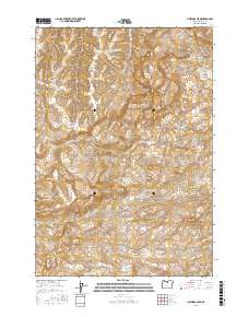
2017 Map of Hastings Peak
USGS Topo · Published 2017About this map
Hastings Peak and Maupin Butte anchor this high-desert landscape in Wasco County, where seasonal water and complex terrain define the local geography. The map reveals a network of intermittent drainages and basins, including Big Lake, Big Dry Lake, and the recurring name Tule Lake, suggesting a territory shaped by variable precipitation and traditional land use. Distinctive landmarks like Chinaman Hat and Black Rock serve as navigational waypoints across a region of deep incisions like Cold Spring Canyon and Corral Canyon.
Find a feature on this map
26 named features on this map. Tap any name to fly to it.
Don’t see what you’re looking for? This feature index may not catch every label — zoom into the map to look around manually.
Map Details
Editions of this 2017 Hastings Peak Map
This is the sole edition of this map. No revisions or reprints were ever made.
Other maps of this area

1916 · Condon
USGS Topo · 1:125,000

1926 · Mitchell
USGS Topo · 1:125,000

1953 · The Dalles
USGS Topo · 1:250,000

1955 · Bend
USGS Topo · 1:250,000

1956 · The Dalles
USGS Topo · 1:250,000

1957 · Bend
USGS Topo · 1:250,000

1957 · The Dalles
USGS Topo · 1:250,000

1958 · Bend
USGS Topo · 1:250,000

1966 · Antelope
USGS Topo · 1:62,500

1966 · Clarno
USGS Topo · 1:62,500