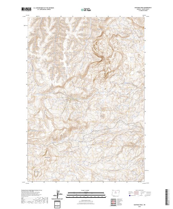
2023 Map of Hastings Peak
USGS Topo · Published 2023About this map
Hastings Peak and Maupin Butte dominate the southern landscape of this central Oregon quadrangle, where the high desert terrain is deeply incised by a network of drainage systems. The map reveals a transition from the elevated North Pole Ridge and the distinctive Chinaman Hat in the north to the broader flats of Jessie Flat. Water is a defining scarce resource, marked by seasonal features like Tule Lake and the various creeks that give way to canyons, such as Bath Canyon and Corral Canyon. This 2023 survey by the U.S. Geological Survey illustrates the modern land management patterns of Wasco County, defined by the Public Land Survey System grids. The naming of features like Little Pine Hollow Ridge and Sorefoot Creek suggests a history of livestock grazing and early settlement navigation through this high-altitude drainage network.
Find a feature on this map
22 named features on this map. Tap any name to fly to it.
Don’t see what you’re looking for? This feature index may not catch every label — zoom into the map to look around manually.
Map Details
Editions of this 2023 Hastings Peak Map
This is the sole edition of this map. No revisions or reprints were ever made.
Other maps of this area

1916 · Condon
USGS Topo · 1:125,000

1926 · Mitchell
USGS Topo · 1:125,000

1953 · The Dalles
USGS Topo · 1:250,000

1955 · Bend
USGS Topo · 1:250,000

1956 · The Dalles
USGS Topo · 1:250,000

1957 · Bend
USGS Topo · 1:250,000

1957 · The Dalles
USGS Topo · 1:250,000

1958 · Bend
USGS Topo · 1:250,000

1966 · Antelope
USGS Topo · 1:62,500

1966 · Clarno
USGS Topo · 1:62,500