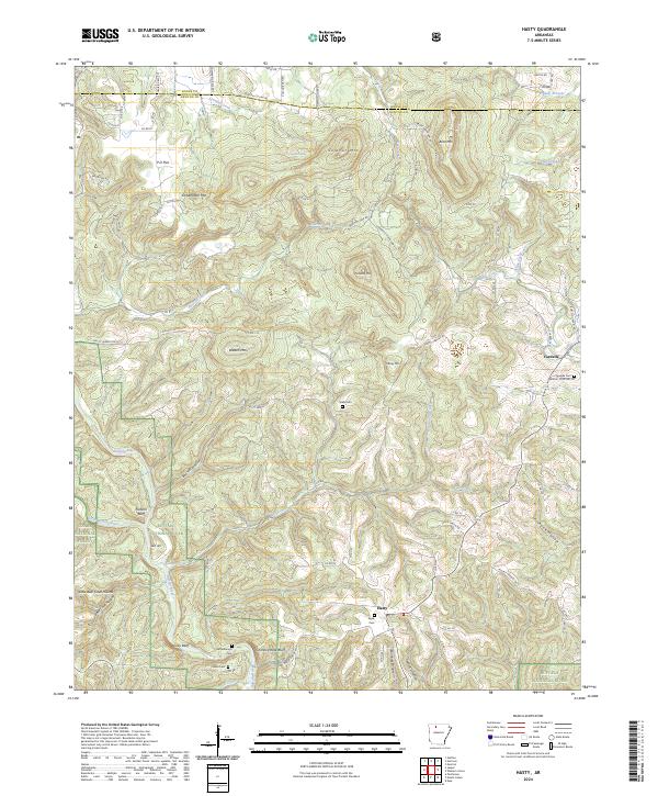
2024 Map of Hasty
USGS Topo · Published 2024About this map
Buffalo National River snakes through this portion of Newton County, carving a landscape defined by dramatic river bluffs and deep hollows. The settlement of Hasty serves as a local focal point near the southern bend of the river, while Yardelle sits to the northeast. High points like Sulphur Mtn and Pinnacle Mtn overlook the winding waters of Wells Creek and Bat House Branch.
Find a feature on this map
82 named features on this map. Tap any name to fly to it.
Don’t see what you’re looking for? This feature index may not catch every label — zoom into the map to look around manually.
Map Details
Editions of this 2024 Hasty Map
This is the sole edition of this map. No revisions or reprints were ever made.
Other maps of this area

1892 · Marshall
USGS Topo · 1:125,000

1893 · Yellville
USGS Topo · 1:125,000

1894 · Marshall
USGS Topo · 1:125,000

1901 · Marshall
USGS Topo · 1:125,000

1903 · Yellville
USGS Topo · 1:125,000

1904 · Harrison
USGS Topo · 1:125,000

1905 · Harrison
USGS Topo · 1:125,000

1905 · Yellville
USGS Topo · 1:125,000

1929 · Yellville
USGS Topo · 1:125,000

1933 · Mt Judea
USGS Topo · 1:62,500