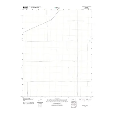
2010 Map of Haswell NE
USGS Topo · Published 2010About this map
Salt Lake sits at the eastern edge of this Kiowa County landscape, a distinctive hydrologic feature in a region defined by its rigid section-line organization. This 2010 survey by the U.S. Geological Survey documents a sparse, agricultural infrastructure dominated by a vast grid of gravel and dirt routes. State Highway 96 cuts diagonally across the northern portion of the map, providing the primary arterial connection through the plains. The landscape is segmented by a precise network of local thoroughfares, including County Road P, County Rd 27, and County Road M. These roads follow the township and range lines, reflecting the legacy of the Public Land Survey System that shaped the development of eastern Colorado. This map serves as a clear record of land use and transportation during the early 21st century, showing how the local road system accommodates the natural depressions and saline basins of the high plains.
Find a feature on this map
10 named features on this map. Tap any name to fly to it.
Don’t see what you’re looking for? This feature index may not catch every label — zoom into the map to look around manually.
Map Details
Editions of this 2010 Haswell NE Map
This is the sole edition of this map. No revisions or reprints were ever made.
Other maps of this area

1891 · Arroyo
USGS Topo · 1:125,000

1891 · Kit Carson
USGS Topo · 1:125,000

1891 · Las Animas
USGS Topo · 1:125,000

1892 · Lamar
USGS Topo · 1:125,000

1893 · Arroyo
USGS Topo · 1:125,000

1893 · Kit Carson
USGS Topo · 1:125,000

1893 · Las Animas
USGS Topo · 1:125,000

1954 · Lamar
USGS Topo · 1:250,000

1958 · Lamar
USGS Topo · 1:250,000

1968 · Rose Ranch
USGS Topo · 1:24,000