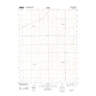
2013 Map of Haswell NE
USGS Topo · Published 2013About this map
The High Plains of Kiowa County are defined here by a rigid grid of rural transport and section lines, centered on the intersection of Co Road 96 and CO Road 24. This landscape represents the late-stage development of Colorado's eastern agricultural plains, where wide-open spaces are segmented by a systematic network of local connectors such as CO Road P and CO Road S. The terrain is marked by subtle contours and intermittent drainage patterns, characteristic of the region's semi-arid environment. Land ownership and administrative history are visible through the large township divisions of t018s r051w and t018s r050w, reflecting the enduring influence of the Public Land Survey System on the modern Colorado ranching and farming economy.
Find a feature on this map
13 named features on this map. Tap any name to fly to it.
Don’t see what you’re looking for? This feature index may not catch every label — zoom into the map to look around manually.
Map Details
Editions of this 2013 Haswell NE Map
This is the sole edition of this map. No revisions or reprints were ever made.
Other maps of this area

1891 · Arroyo
USGS Topo · 1:125,000

1891 · Kit Carson
USGS Topo · 1:125,000

1891 · Las Animas
USGS Topo · 1:125,000

1892 · Lamar
USGS Topo · 1:125,000

1893 · Arroyo
USGS Topo · 1:125,000

1893 · Kit Carson
USGS Topo · 1:125,000

1893 · Las Animas
USGS Topo · 1:125,000

1954 · Lamar
USGS Topo · 1:250,000

1958 · Lamar
USGS Topo · 1:250,000

1968 · Rose Ranch
USGS Topo · 1:24,000