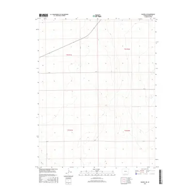
2016 Map of Haswell NE
USGS Topo · Published 2016About this map
Kiowa County's high plains terrain is defined by its expansive agricultural grid and a network of arterial section roads during this mid-2010s survey. The landscape is largely structured by the Public Land Survey System, with township boundaries like t18s r51w and t18s r50w anchoring the geography. This region relies on a series of straight-line county roads for navigation and transit through the remote prairie, including Co Rd 24 and Co Rd P. The sparse layout is typical of the High Plains, where vast distances are managed through a rhythmic system of roads such as Co Rd N and Co Rd K. This map serves as a clear record of the spatial organization and rural infrastructure of eastern Colorado in the early 21st century.
Find a feature on this map
9 named features on this map. Tap any name to fly to it.
Don’t see what you’re looking for? This feature index may not catch every label — zoom into the map to look around manually.
Map Details
Editions of this 2016 Haswell NE Map
This is the sole edition of this map. No revisions or reprints were ever made.
Other maps of this area

1891 · Arroyo
USGS Topo · 1:125,000

1891 · Kit Carson
USGS Topo · 1:125,000

1891 · Las Animas
USGS Topo · 1:125,000

1892 · Lamar
USGS Topo · 1:125,000

1893 · Arroyo
USGS Topo · 1:125,000

1893 · Kit Carson
USGS Topo · 1:125,000

1893 · Las Animas
USGS Topo · 1:125,000

1954 · Lamar
USGS Topo · 1:250,000

1958 · Lamar
USGS Topo · 1:250,000

1968 · Rose Ranch
USGS Topo · 1:24,000