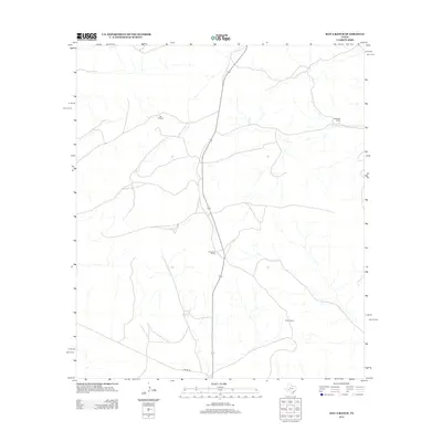
2012 Map of Hat-A Ranch
USGS Topo · Published 2012About this map
Hat-A Ranch and several other family-named ranching outposts define this stretch of Pecos County, documenting the enduring cattle-ranching layout of the West Texas landscape. Modern survey data from the U.S. Geological Survey reveals the infrastructure of these remote operations, which are connected by a sparse network of tracks and the prominent east-west passage of Harral Rd in the south. The distribution of McKenzie Ranch, Augustine Ranch, and Porter Ranch suggests a traditional land-use pattern where large acreage is managed from centralized hubs. The presence of these named ranch sites provides specific points of interest for those tracking regional lineage or the evolution of large-scale agricultural holdings in this arid territory.
Find a feature on this map
5 named features on this map. Tap any name to fly to it.
Don’t see what you’re looking for? This feature index may not catch every label — zoom into the map to look around manually.
Map Details
Editions of this 2012 Hat-A Ranch Map
This is the sole edition of this map. No revisions or reprints were ever made.
Other maps of this area

1929 · Independence Draw Quadrangle
USGS Topo · 1:125,000

1954 · Fort Stockton
USGS Topo · 1:250,000

1958 · Fort Stockton
USGS Topo · 1:250,000
1969 · Smoky Mountain Ranch
USGS Topo · 1:24,000
1969 · Mitchell Draw
USGS Topo · 1:24,000
1969 · Seventeen Ranch
USGS Topo · 1:24,000

1969 · Hackberry Draw NE
USGS Topo · 1:24,000
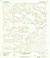
1969 · Hackberry Draw SE
USGS Topo · 1:24,000
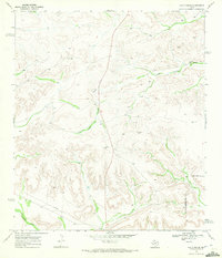
1969 · Hat-A Ranch
USGS Topo · 1:24,000
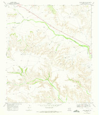
1969 · Indian Mesa SE
USGS Topo · 1:24,000