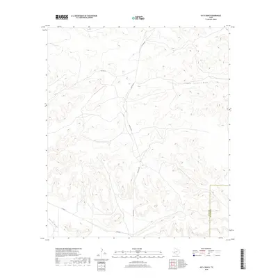
2019 Map of Hat-A Ranch
USGS Topo · Published 2019About this map
Hat-A Ranch sits at the heart of this high-desert landscape in west Texas, where the terrain is defined by complex arroyo systems and drainage basins. The map illustrates a remote ranching economy dependent on corridors like Ranch Rd 2886 and Harral Rd for connectivity across the arid plateau. Water management and natural drainage are central to the area's geography, evidenced by the prominent Lower Fourmile Draw in the northeast and Harral Draw cutting across the southwestern corner. In the southeast, the Pecos Co Terrell Co boundary line marks the transition between these two expansive counties, highlighting the isolation and scale of these large landholdings in the early twenty-first century.
Find a feature on this map
6 named features on this map. Tap any name to fly to it.
Don’t see what you’re looking for? This feature index may not catch every label — zoom into the map to look around manually.
Map Details
Editions of this 2019 Hat-A Ranch Map
This is the sole edition of this map. No revisions or reprints were ever made.
Other maps of this area

1929 · Independence Draw Quadrangle
USGS Topo · 1:125,000

1954 · Fort Stockton
USGS Topo · 1:250,000

1958 · Fort Stockton
USGS Topo · 1:250,000
1969 · Smoky Mountain Ranch
USGS Topo · 1:24,000
1969 · Mitchell Draw
USGS Topo · 1:24,000
1969 · Seventeen Ranch
USGS Topo · 1:24,000

1969 · Hackberry Draw NE
USGS Topo · 1:24,000
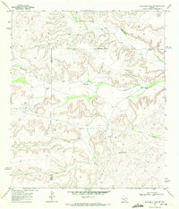
1969 · Hackberry Draw SE
USGS Topo · 1:24,000
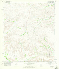
1969 · Hat-A Ranch
USGS Topo · 1:24,000
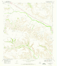
1969 · Indian Mesa SE
USGS Topo · 1:24,000