
1962 Map of Hat Rock
USGS Topo · Published 1963About this map
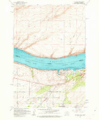
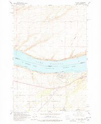
Columbia River waters held by the McNary Dam form Lake Wallula, dividing the states of Washington and Oregon in this early 1960s study. Along the northern bank in Benton County, the Spokane Portland and Seattle railroad tracks follow the shoreline through Berrian, while the southern Oregon side is dominated by the Union Pacific line and the recreational grounds of Hat Rock State Park. Notable basalt formations like Hat Rock and Boat Rock stand as landmarks near the mouth of Cold Springs Wash.
Find a feature on this map
34 named features on this map. Tap any name to fly to it.
Don’t see what you’re looking for? This feature index may not catch every label — zoom into the map to look around manually.
Map Details
Editions of this 1962 Hat Rock Map
3 editions found
Other maps of this area

1908 · Umatilla
USGS Topo · 1:125,000

1917 · Pasco
USGS Topo · 1:125,000

1953 · Pendleton
USGS Topo · 1:250,000

1953 · Walla Walla
USGS Topo · 1:250,000

1956 · Pendleton
USGS Topo · 1:250,000

1958 · Walla Walla
USGS Topo · 1:250,000

1962 · Stanfield
USGS Topo · 1:24,000

1962 · Hermiston
USGS Topo · 1:24,000

1962 · Juniper
USGS Topo · 1:24,000

1962 · Umatilla
USGS Topo · 1:24,000