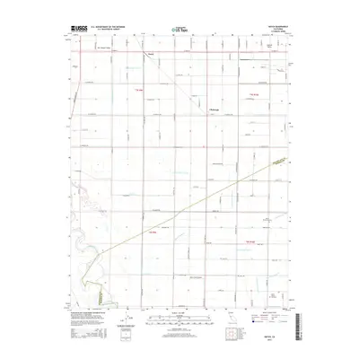
2015 Map of Hatch
USGS Topo · Published 2015About this map
The San Joaquin River meanders through the southwestern corner of this landscape, defining the border between Stanislaus and Merced counties. This region is characterized by an intricate network of irrigation infrastructure essential to the San Joaquin Valley agricultural economy, including the Westley Wasteway, Stevinson Upper Lateral, and numerous numbered laterals like Lateral Number Five 1/2. Small settlements such as Hatch and Chemurgic serve as local hubs for the surrounding farmstead operations.
Find a feature on this map
83 named features on this map. Tap any name to fly to it.
Don’t see what you’re looking for? This feature index may not catch every label — zoom into the map to look around manually.
Map Details
Editions of this 2015 Hatch Map
This is the sole edition of this map. No revisions or reprints were ever made.
Other maps of this area

1915 · Westport
USGS Topo · 1:31,680

1916 · Mitchell School
USGS Topo · 1:31,680

1916 · Crows Landing
USGS Topo · 1:31,680

1916 · Denair
USGS Topo · 1:31,680

1916 · Ceres
USGS Topo · 1:31,680

1917 · Turlock
USGS Topo · 1:31,680

1917 · Newman
USGS Topo · 1:31,680

1918 · Stevinson
USGS Topo · 1:31,680

1918 · Gustine
USGS Topo · 1:31,680

1919 · Orestimba
USGS Topo · 1:62,500