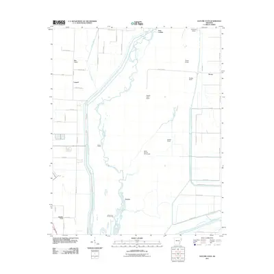
2011 Map of Hatchie Coon
USGS Topo · Published 2011About this map
The Saint Francis Sunk Lands dominate this portion of Poinsett County, where the Saint Francis River winds through a complex network of wetlands and low-lying islands. This environment shaped the sparse but distinct settlement pattern of the early 21st century, notably at the Hatchie Coon Hunting Lodge and the small communities of Donnick and Hatchie Coon. The landscape is characterized by its numerous named islands, including Turkey Island, Panther Island, and Hatchie Coon Island, which rise above the surrounding waters.
Find a feature on this map
56 named features on this map. Tap any name to fly to it.
Don’t see what you’re looking for? This feature index may not catch every label — zoom into the map to look around manually.
Map Details
Editions of this 2011 Hatchie Coon Map
This is the sole edition of this map. No revisions or reprints were ever made.
Other maps of this area

1939 · Jonesboro
USGS Topo · 1:62,500

1940 · Dee
USGS Topo · 1:62,500

1941 · Leachville
USGS Topo · 1:62,500

1941 · Marked Tree
USGS Topo · 1:62,500

1953 · Memphis
USGS Topo · 1:250,000

1956 · Leachville
USGS Topo · 1:62,500

1956 · Marked Tree
USGS Topo · 1:62,500

1956 · Memphis
USGS Topo · 1:250,000

1958 · Dee
USGS Topo · 1:62,500

1958 · Jonesboro
USGS Topo · 1:62,500