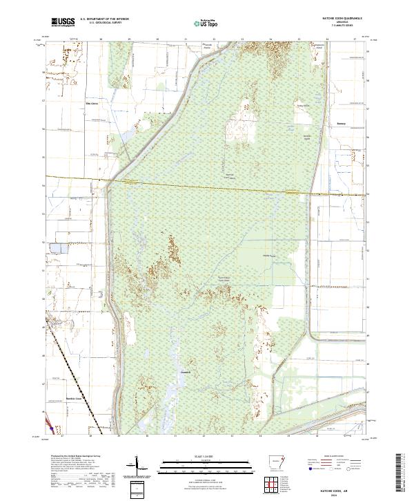
2024 Map of Hatchie Coon
USGS Topo · Published 2024About this map
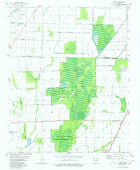
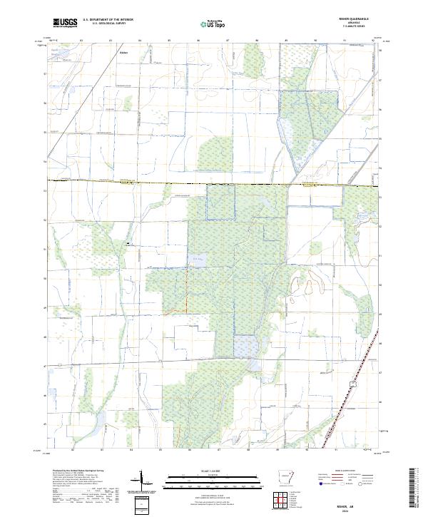
The Saint Francis Sunk Lands dominate this portion of Poinsett and Craighead Counties, where the Saint Francis River winds through a complex network of wetlands and islands. This landscape is a result of historic seismic activity that lowered the elevation of the alluvial valley, creating a unique environment of seasonal flooding and swampy terrain. Small communities and named landmarks like Elm Grove, Bunney, and Donnick occupy the higher ground surrounding the basin, while the interior features a series of significant landforms including Hatchie Coon Island, Middle Island, and Panther Island. Extensive drainage projects are evident through engineered waterways like Ditch Number 1 and Ditch Number 59, which attempt to manage the water levels of Hatchie Coon Lake and Saint Francis Lake. The map illustrates the persistent intersection of wild river bottomlands and agricultural reclamation efforts in the Arkansas Delta.
Find a feature on this map
64 named features on this map. Tap any name to fly to it.
Don’t see what you’re looking for? This feature index may not catch every label — zoom into the map to look around manually.
Map Details
Editions of this 2024 Hatchie Coon Map
This is the sole edition of this map. No revisions or reprints were ever made.
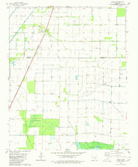
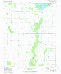
Historical Maps of Elm Grove Through Time
14 maps found
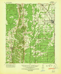
1940 Dee
Poinsett County, AR

1958 Dee
Poinsett County, AR
1980 Otwell
Poinsett County, AR
1980 Powers Slough
Poinsett County, AR
1980 Risher
Poinsett County, AR
1983 Greenfield
Poinsett County, AR
1983 Hatchie Coon
Poinsett County, AR
1983 Mc Cormick
Poinsett County, AR
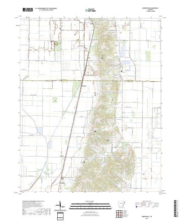
2024 Greenfield
Poinsett County, AR
2024 Hatchie Coon
Poinsett County, AR
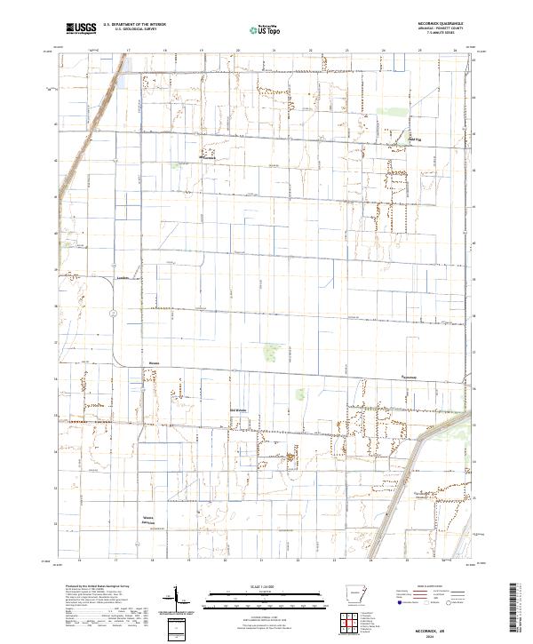
2024 McCormick
Poinsett County, AR
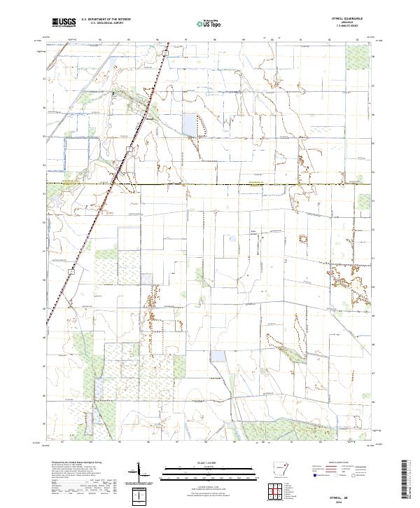
2024 Otwell
Poinsett County, AR
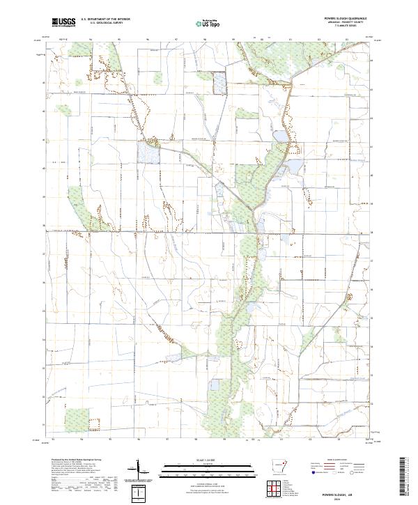
2024 Powers Slough
Poinsett County, AR
2024 Risher
Poinsett County, AR