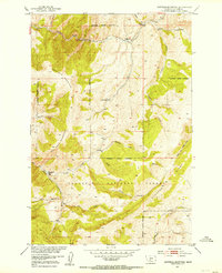
1951 Map of Hatfield Mountain
USGS Topo · Published 1953About this map
Gallatin National Forest dominates this mid-century topographic survey, illustrating a landscape defined by sharp elevation shifts and early administrative presence in the Montana wilderness. The Troy Ranger Station sits near the confluence of South Fork Sixteenmile Creek and Troy Creek, marking a hub for forest management and local travel along the designated Trail. To the north, the isolated Miller Ranch represents one of the few private holdings amidst the vast public lands, situated between Miller Gulch and the high peaks.
Find a feature on this map
23 named features on this map. Tap any name to fly to it.
Don’t see what you’re looking for? This feature index may not catch every label — zoom into the map to look around manually.
Map Details
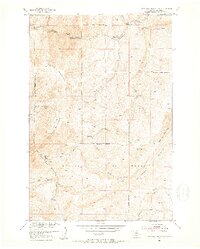
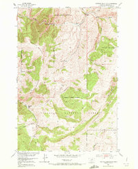
Editions of this 1951 Hatfield Mountain Map
3 editions found
Other maps of this area

1886 · Fort Logan
USGS Topo · 1:250,000

1886 · Little Belt Mts.
USGS Topo · 1:250,000

1888 · Three Forks
USGS Topo · 1:250,000

1891 · Livingston
USGS Topo · 1:250,000

1893 · Livingston
USGS Topo · 1:250,000

1894 · Three Forks
USGS Topo · 1:250,000

1894 · Little Belt Mts.
USGS Topo · 1:250,000

1895 · Three Forks
USGS Topo · 1:250,000

1897 · Little Belt Mts.
USGS Topo · 1:250,000

1898 · Little Belt Mts.
USGS Topo · 1:250,000