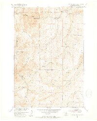
1951 Map of Hatfield Mountain
USGS Topo · Published 1953About this map
Gallatin National Forest encompasses the high country of this 1951 survey, where the drainages of Sixteenmile Creek and Troy Creek carve through the northern Rockies. The landscape is defined by the massive profiles of Hatfield Mountain and Red Rock Mountain, separated by the steep descent of Miller Gulch. In this mid-century period, human presence is sparse and tactical, centered on the Troy Ranger Station and the isolated Miller Ranch. The map traces the rugged path of the Trail as it follows the South Fork Sixteenmile Creek and crosses the high divides of Elkhorn Ridge. This document records a time when land management in the Missouri River Basin focused on remote forest outposts and mountain hydrology, capturing local names like Beatskull Creek and Middle Fork Canyon before modern development reached these higher elevations.
Find a feature on this map
24 named features on this map. Tap any name to fly to it.
Don’t see what you’re looking for? This feature index may not catch every label — zoom into the map to look around manually.
Map Details
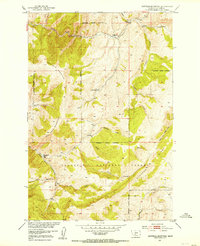
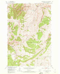
Editions of this 1951 Hatfield Mountain Map
3 editions found
Other maps of this area

1886 · Fort Logan
USGS Topo · 1:250,000

1886 · Little Belt Mts.
USGS Topo · 1:250,000

1888 · Three Forks
USGS Topo · 1:250,000

1891 · Livingston
USGS Topo · 1:250,000

1893 · Livingston
USGS Topo · 1:250,000

1894 · Three Forks
USGS Topo · 1:250,000

1894 · Little Belt Mts.
USGS Topo · 1:250,000

1895 · Three Forks
USGS Topo · 1:250,000

1897 · Little Belt Mts.
USGS Topo · 1:250,000

1898 · Little Belt Mts.
USGS Topo · 1:250,000