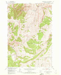
1951 Map of Hatfield Mountain
USGS Topo · Published 1972About this map
Gallatin National Forest dominates this landscape, surveyed as part of the Department of the Interior program for the development of the Missouri River Basin. The topography is defined by the high elevations of Hatfield Mountain and Red Rock Mountain, which overlook a complex network of drainages including Sixteenmile Creek and Bearskull Creek. This mid-century survey captures the region as it was managed for both resource protection and early recreational access.
Find a feature on this map
24 named features on this map. Tap any name to fly to it.
Don’t see what you’re looking for? This feature index may not catch every label — zoom into the map to look around manually.
Map Details
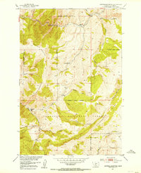
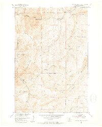
Editions of this 1951 Hatfield Mountain Map
3 editions found
Other maps of this area

1886 · Fort Logan
USGS Topo · 1:250,000

1886 · Little Belt Mts.
USGS Topo · 1:250,000

1888 · Three Forks
USGS Topo · 1:250,000

1891 · Livingston
USGS Topo · 1:250,000

1893 · Livingston
USGS Topo · 1:250,000

1894 · Three Forks
USGS Topo · 1:250,000

1894 · Little Belt Mts.
USGS Topo · 1:250,000

1895 · Three Forks
USGS Topo · 1:250,000

1897 · Little Belt Mts.
USGS Topo · 1:250,000

1898 · Little Belt Mts.
USGS Topo · 1:250,000