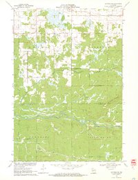
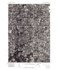
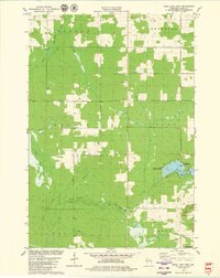
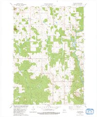
1970 Map of Hatfield NE
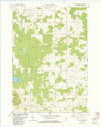
USGS Topo · Published 1972This historical map portrays the area of Hatfield NE in 1970, primarily covering Clark County as well as portions of Jackson County. Featuring a scale of 1:24000, this map provides a highly detailed snapshot of the terrain, roads, buildings, counties, and historical landmarks in the Hatfield NE region at the time. Published in 1972, it is one of 3 known editions of this map due to revisions or reprints.
Find a feature on this map
3 named features on this map. Tap any name to fly to it.
Don’t see what you’re looking for? This feature index may not catch every label — zoom into the map to look around manually.
Map Details
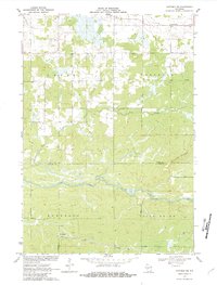
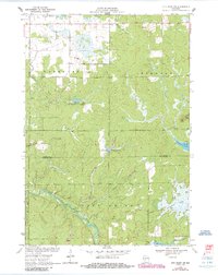
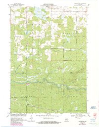
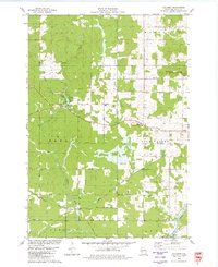
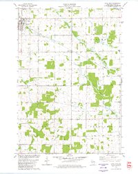
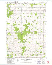
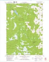
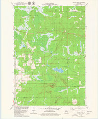
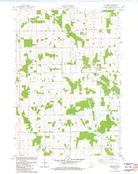
Editions of this 1970 Hatfield NE Map
3 editions found
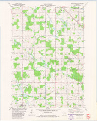
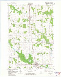
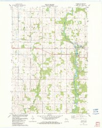
Historical Maps of Komensky Through Time
15 maps found
1970 City Point NW
Clark County, WI
1970 Hatfield NE
Clark County, WI
1976 Stanley NE
Clark County, WI
1979 Columbia
Clark County, WI
1979 Loyal East
Clark County, WI
1979 Loyal West
Clark County, WI
1979 Mead Lake West
Clark County, WI
1979 Rock Dam Lake
Clark County, WI
1979 Spencer South
Clark County, WI
1979 Wildcat Mound
Clark County, WI
1979 Willard
Clark County, WI
1981 Riplinger
Clark County, WI
1981 Spencer North
Clark County, WI
1982 Lombard
Clark County, WI
1982 Mead Lake East
Clark County, WI