
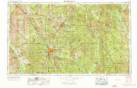
1953 Map of Hattiesburg
USGS Topo · Published 1965About this map
The Piney Woods of South Mississippi and western Alabama are defined here by a dense network of river systems and timberlands during the mid-twentieth century. Major rail corridors including the Illinois Central and Mississippi Central converge at Hattiesburg, while the Gulf Mobile and Ohio services the eastern lumber and agriculture belts. Large tracts of protected land, notably the De Soto National Forest and Choctaw National Wildlife Refuge, dominate the landscape between the Leaf River and the Tombigbee River. This survey captures the region just as the modern highway system was expanding, with Us 49 and Us 11 connecting established regional centers like Laurel and Waynesboro. From the Strong River in the north to Citronelle in the south, the map illustrates a landscape of small rural settlements and river-based industry.
Find a feature on this map
48 named features on this map. Tap any name to fly to it.
Don’t see what you’re looking for? This feature index may not catch every label — zoom into the map to look around manually.
Map Details
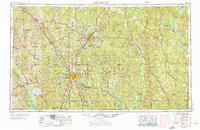
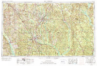
Editions of this 1953 Hattiesburg Map
4 editions found
Other maps of this area

1903 · Jackson
USGS Topo · 1:125,000

1906 · Florence
USGS Topo · 1:62,500

1908 · Florence
USGS Topo · 1:62,500

1935 · White Oak
USGS Topo · 1:24,000

1941 · Bay Minette
USGS Topo · 1:62,500

1941 · Creola
USGS Topo · 1:62,500

1941 · Lucedale
USGS Topo · 1:62,500

1942 · Thomas
USGS Topo · 1:31,680

1942 · Deer Park
USGS Topo · 1:62,500

1942 · Wilmer
USGS Topo · 1:62,500