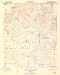
1951 Map of Hatton
USGS Topo · Published 1951About this map
Black Ground Mountain and the high ridges of Mill Mtn look down upon the transition from upland forest to the agricultural expanses of the Moulton Valley. This mid-century landscape is defined by its small, community-centered settlements like Wolf Springs and Hatton, where local life clustered around an array of country houses of worship including Old Okolona Church, Sanderson Chapel, and Providence Church. The map reveals a highly localized education system, showing the placement of the Flat Rock School and Iron Bridge School before later consolidation.
Find a feature on this map
73 named features on this map. Tap any name to fly to it.
Don’t see what you’re looking for? This feature index may not catch every label — zoom into the map to look around manually.
Map Details
Editions of this 1951 Hatton Map
2 editions found
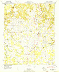
Other maps of this area

1924 · Tuscumbia
USGS Topo · 1:48,000

1926 · Tuscumbia
USGS Topo · 1:62,500

1935 · Moulton
USGS Topo · 1:24,000

1936 · Newburg
USGS Topo · 1:24,000

1936 · Courtland
USGS Topo · 1:24,000

1936 · Moulton
USGS Topo · 1:48,000

1936 · Town Creek
USGS Topo · 1:24,000
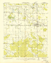
1936 · Leighton
USGS Topo · 1:24,000

1936 · Masterson
USGS Topo · 1:24,000

1936 · Hatton
USGS Topo · 1:24,000