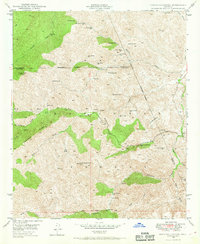
1948 Map of Haunted Canyon
USGS Topo · Published 1969About this map
Kennedy Ranch and Tony Ranch sit at the heart of this high-elevation landscape within the Tonto National Forest, where the complex drainage system of Pinto Creek and Haunted Canyon defines the terrain. The map records a wilderness economy centered on isolated springs and corrals, such as Mormon Corral and Mowing Machine Spr. This 1948 field check reveals a network of place names that reflect early settlers and ranching life, from Case Knife Spr to the descriptive Bear Thicket Cr.
Find a feature on this map
47 named features on this map. Tap any name to fly to it.
Don’t see what you’re looking for? This feature index may not catch every label — zoom into the map to look around manually.
Map Details
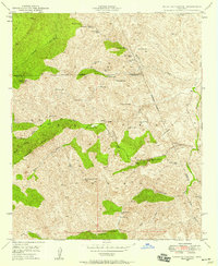
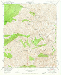
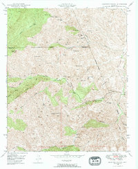
Editions of this 1948 Haunted Canyon Map
4 editions found
Other maps of this area

1900 · Florence
USGS Topo · 1:125,000

1901 · Globe
USGS Topo · 1:62,500

1902 · Globe
USGS Topo · 1:62,500

1902 · Florence
USGS Topo · 1:125,000

1907 · Roosevelt
USGS Topo · 1:125,000

1909 · Four Peaks
USGS Topo · 1:125,000

1912 · Roosevelt
USGS Topo · 1:125,000

1922 · Chrysotile
USGS Topo · 1:125,000

1945 · Inspiration
USGS Topo · 1:24,000

1947 · Inspiration
USGS Topo · 1:24,000