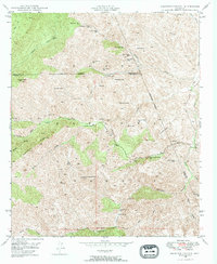
1948 Map of Haunted Canyon
USGS Topo · Published 1973About this map
High-elevation cattle ranching and scattered water sources define this 1948 survey of the Tonto National Forest at the intersection of Maricopa, Pinal, and Gila counties. The landscape is oriented around the Pinto Creek drainage, where isolated holdings like Kennedy Ranch and Tony Ranch provided footholds for local industry. The geography is characterized by numerous springs necessary for livestock, including curiously named spots like Fifty Dollar Spr, Bootlegger Spr, and Cuff Button Spr.
Find a feature on this map
49 named features on this map. Tap any name to fly to it.
Don’t see what you’re looking for? This feature index may not catch every label — zoom into the map to look around manually.
Map Details
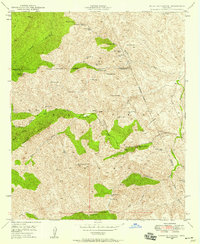
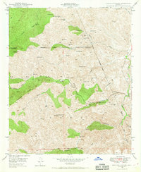
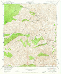
Editions of this 1948 Haunted Canyon Map
4 editions found
Other maps of this area

1900 · Florence
USGS Topo · 1:125,000

1901 · Globe
USGS Topo · 1:62,500

1902 · Globe
USGS Topo · 1:62,500

1902 · Florence
USGS Topo · 1:125,000

1907 · Roosevelt
USGS Topo · 1:125,000

1909 · Four Peaks
USGS Topo · 1:125,000

1912 · Roosevelt
USGS Topo · 1:125,000

1922 · Chrysotile
USGS Topo · 1:125,000

1945 · Inspiration
USGS Topo · 1:24,000

1947 · Inspiration
USGS Topo · 1:24,000