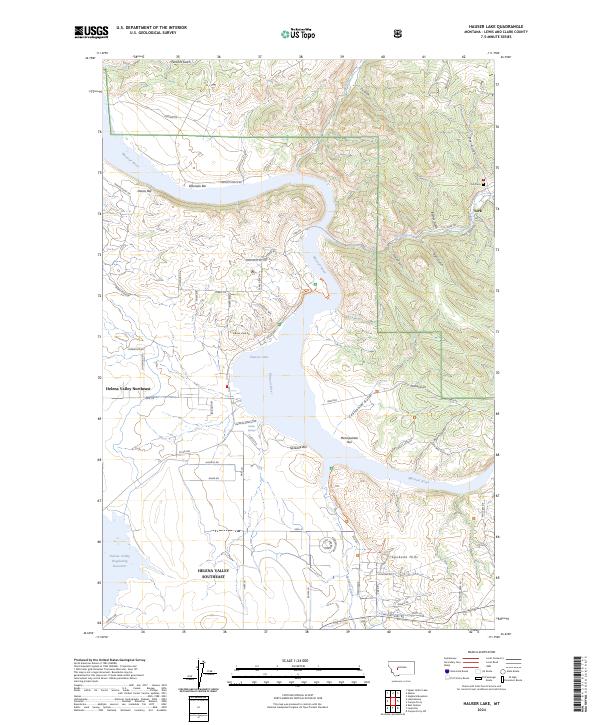
2024 Map of Hauser Lake
USGS Topo · Published 2024About this map
Hauser Lake and the winding Missouri River anchor this modern survey of the canyon lands northeast of the state capital. The settlement of York sits near the eastern edge, serving as a gateway to the steep drainages of Barnes Gulch and Trout Creek. This area is defined by its gold mining legacy, visible in the named river bars such as Eldorado Bar, Metropolitan Bar, and Spokane Bar, which reflect the historic placer operations that once drew prospectors to these banks.
Find a feature on this map
71 named features on this map. Tap any name to fly to it.
Don’t see what you’re looking for? This feature index may not catch every label — zoom into the map to look around manually.
Map Details
Editions of this 2024 Hauser Lake Map
This is the sole edition of this map. No revisions or reprints were ever made.
Other maps of this area

1886 · Fort Logan
USGS Topo · 1:250,000

1899 · Helena
USGS Topo · 1:62,500

1948 · White Sulphur Springs
USGS Topo · 1:250,000

1950 · Canyon Ferry
USGS Topo · 1:62,500

1950 · East Helena
USGS Topo · 1:62,500

1958 · White Sulphur Springs
USGS Topo · 1:250,000

1961 · White Sulphur Springs
USGS Topo · 1:250,000
1962 · Upper Holter Lake
USGS Topo · 1:24,000

1962 · Hogback Mountain
USGS Topo · 1:24,000
1962 · Nelson
USGS Topo · 1:24,000