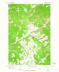
1962 Map of Nelson
USGS Topo · Published 1964About this map
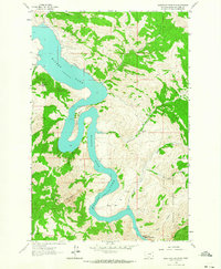
Helena National Forest dominates this topographic survey, revealing the remote character of Lewis and Clark County in the early 1960s. The small settlement of Nelson serves as the primary human landmark amidst a complex network of drainages and high peaks, including Sacajawea Mountain and Sawtooth Mountain. The landscape is defined by its deep gulches, such as Log Gulch, Keepout Gulch, and Checkerboard Gulch, which suggest a terrain carved by persistent seasonal water flows.
Find a feature on this map
29 named features on this map. Tap any name to fly to it.
Don’t see what you’re looking for? This feature index may not catch every label — zoom into the map to look around manually.
Map Details
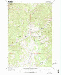
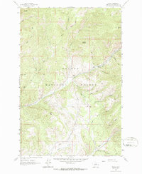
Editions of this 1962 Nelson Map
Other maps of this area

1886 · Fort Logan
USGS Topo · 1:250,000

1899 · Helena
USGS Topo · 1:62,500

1948 · White Sulphur Springs
USGS Topo · 1:250,000

1950 · Canyon Ferry
USGS Topo · 1:62,500

1950 · East Helena
USGS Topo · 1:62,500

1958 · White Sulphur Springs
USGS Topo · 1:250,000

1961 · White Sulphur Springs
USGS Topo · 1:250,000
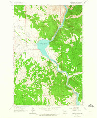
1962 · Upper Holter Lake
USGS Topo · 1:24,000

1962 · Hogback Mountain
USGS Topo · 1:24,000
1962 · Beartooth Mountain
USGS Topo · 1:24,000