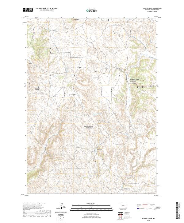
2021 Map of Haushar Ranch
USGS Topo · Published 2021About this map
Haushar Ranch sits at the heart of this high-plains landscape in Platte County, where drainage systems and rural transit routes define the territory. The map illustrates a complex network of dry washes and canyons, including South Fork Sand Draw, Buckshot Draw, and Sawmill Canyon, which channel seasonal water toward Patten Cr and Broom Cr. These topographic features reflect the traditional livestock and ranching economy that has long dominated this portion of Wyoming.
Find a feature on this map
18 named features on this map. Tap any name to fly to it.
Don’t see what you’re looking for? This feature index may not catch every label — zoom into the map to look around manually.
Map Details
Editions of this 2021 Haushar Ranch Map
This is the sole edition of this map. No revisions or reprints were ever made.
Other maps of this area

1896 · Hartville
USGS Topo · 1:125,000

1901 · Hartville
USGS Topo · 1:125,000

1949 · Cedar Top
USGS Topo · 1:24,000

1950 · Cedar Top
USGS Topo · 1:24,000

1950 · Jewel Springs
USGS Topo · 1:24,000

1950 · Guernsey
USGS Topo · 1:24,000

1950 · Herman Ranch
USGS Topo · 1:24,000

1950 · Haushar Ranch
USGS Topo · 1:24,000

1950 · Hell Gap
USGS Topo · 1:24,000

1950 · Guernsey Reservoir
USGS Topo · 1:24,000