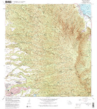
1983 Map of Hauula
USGS Topo · Published 1983About this map
Hauula sits along the windward coast of Oahu, where the Kamehameha Hwy runs between the Pacific Ocean and the steep slopes of the Koolau Range. This mid-century landscape is defined by its dramatic vertical geography, as numerous gulches and streams like Kaipapau Stream and Helemano Stream carve through dense forest reserves including the Waimea Forest Reserve and Hauula Forest Reserve. The map records significant water features such as the Sacred Falls (Kaliuwaa) and Waihoi Springs.
Find a feature on this map
39 named features on this map. Tap any name to fly to it.
Don’t see what you’re looking for? This feature index may not catch every label — zoom into the map to look around manually.
Map Details
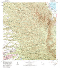
Editions of this 1983 Hauula Map
2 editions found
Other maps of this area

1952 · Waimea
USGS Topo · 1:24,000

1953 · Haleiwa
USGS Topo · 1:24,000

1953 · Schofield Barracks
USGS Topo · 1:24,000

1953 · Hauula
USGS Topo · 1:24,000

1954 · Oahu
USGS Topo · 1:250,000

1954 · Kahuku
USGS Topo · 1:24,000

1954 · Kahana
USGS Topo · 1:24,000

1954 · Kaneohe
USGS Topo · 1:24,000

1954 · Waipahu
USGS Topo · 1:24,000

1959 · Kaneohe
USGS Topo · 1:24,000