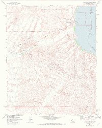
1970 Map of Havasu Lake
USGS Topo · Published 1982About this map
Chemehuevi Indian Reservation land dominates this western shore of the Colorado River, where the high desert meets the rising waters of Havasu Lake. The settlement of Havasu Lake functions as a recreational hub, featuring a Marina, Trailer Park, and Picnic Area near Needles Ldg. The landscape is defined by the broad Chemehuevi Valley, which is carved by the Chemehuevi Wash and numerous smaller drainages that descend from the arid uplands toward the river.
Find a feature on this map
22 named features on this map. Tap any name to fly to it.
Don’t see what you’re looking for? This feature index may not catch every label — zoom into the map to look around manually.
Map Details
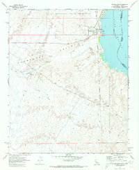
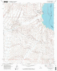
Editions of this 1970 Havasu Lake Map
3 editions found
Other maps of this area

1903 · Needles
USGS Topo · 1:125,000

1904 · Needles Special
USGS Topo · 1:125,000

1911 · Parker
USGS Topo · 1:125,000

1943 · Topock
USGS Topo · 1:62,500

1943 · Whipple Mts.
USGS Topo · 1:62,500

1950 · Topock
USGS Topo · 1:62,500

1950 · Sawtooth Range
USGS Topo · 1:62,500

1950 · Whipple Mts
USGS Topo · 1:62,500

1950 · Savahia Peak
USGS Topo · 1:62,500

1951 · Topock
USGS Topo · 1:62,500