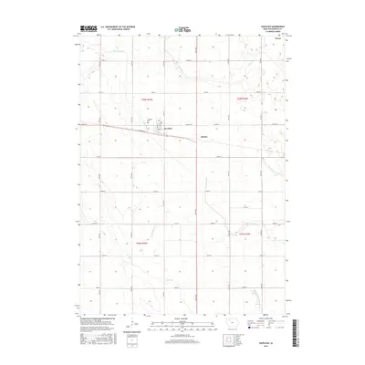
2015 Map of Havelock
USGS Topo · Published 2015About this map
Havelock occupies the center of this agricultural landscape in Pocahontas County, where a rigid grid of rural roads meets the winding path of N Br Lizard Cr. The town plan is oriented around Main St, Wood St, and Brenton Ave, with the Havelock Cem situated on the northwestern edge of the settlement. This 2015 study reveals a terrain heavily shaped by water management, featuring a network of natural and engineered waterways including Pilot Cr, Lizard Cr, and the extensive Drainage Ditch Number 169. The map details the transition from small rural communities like Ridotto and Plover to the surrounding sections of the Public Land Survey System, marked by townships such as t93n r33w. For genealogists, the map provides precise locations for farmsteads and the local cemetery that anchor the history of this Iowa prairie region.
Find a feature on this map
37 named features on this map. Tap any name to fly to it.
Don’t see what you’re looking for? This feature index may not catch every label — zoom into the map to look around manually.
Map Details
Editions of this 2015 Havelock Map
This is the sole edition of this map. No revisions or reprints were ever made.
Other maps of this area

1954 · Fort Dodge
USGS Topo · 1:250,000

1957 · Fort Dodge
USGS Topo · 1:250,000

1958 · Fort Dodge
USGS Topo · 1:250,000

1971 · Rush Lake East
USGS Topo · 1:24,000

1971 · Laurens
USGS Topo · 1:24,000

1979 · Pocahontas
USGS Topo · 1:24,000

1979 · Palmer
USGS Topo · 1:24,000

1979 · Fonda NE
USGS Topo · 1:24,000

1980 · Rolfe
USGS Topo · 1:24,000

1980 · Havelock
USGS Topo · 1:24,000