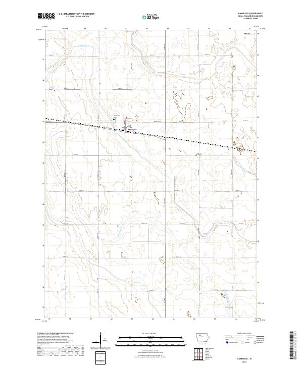
2022 Map of Havelock
USGS Topo · Published 2022About this map
The town of Havelock sits at the heart of this agricultural landscape in Pocahontas County, defined by a grid of rural roads and an extensive network of waterways and drainage channels. Just north of the settlement, Washington Cem remains a significant site for local family history, situated near the headwaters of the N Br Lizard Cr. This drainage system, which includes Lizard Cr and various engineered channels like Ditch Number 112, illustrates the long-standing effort to manage the prairie wetlands for cultivation.
Find a feature on this map
36 named features on this map. Tap any name to fly to it.
Don’t see what you’re looking for? This feature index may not catch every label — zoom into the map to look around manually.
Map Details
Editions of this 2022 Havelock Map
This is the sole edition of this map. No revisions or reprints were ever made.
Other maps of this area

1954 · Fort Dodge
USGS Topo · 1:250,000

1957 · Fort Dodge
USGS Topo · 1:250,000

1958 · Fort Dodge
USGS Topo · 1:250,000

1971 · Rush Lake East
USGS Topo · 1:24,000

1971 · Laurens
USGS Topo · 1:24,000

1979 · Pocahontas
USGS Topo · 1:24,000

1979 · Palmer
USGS Topo · 1:24,000

1979 · Fonda NE
USGS Topo · 1:24,000

1980 · Rolfe
USGS Topo · 1:24,000

1980 · Havelock
USGS Topo · 1:24,000