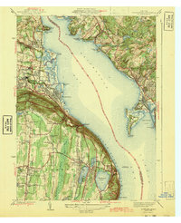
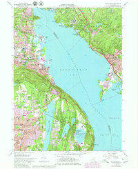
1955 Map of Haverstraw
USGS Topo · Published 1958About this map
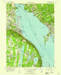
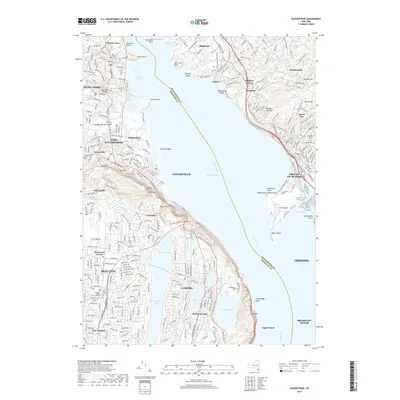
The Hudson River dominates this mid-century landscape, widening into the Haverstraw Bay and Tappan Zee while serving as the county boundary between Rockland and Westchester. The western shore is defined by the steep rises of South Mountain and Verdrietege Hook Mountain, where the Palisades Interstate Park preserves the river’s iconic views. Inland, the suburban expansion of New City and Congers contrast with established riverfront industrial sites like the Quarry near Tomkins Cove. Notable institutional landmarks are present, including the Franklin D Roosevelt V A Hospital at Montrose and the State Rehabilitation Hospital in West Haverstraw. Transportation networks include the New York Central railroad and the Christie Airport, while the Hackensack River flows south through De Forest Lake Park, reflecting the region’s critical water management and recreational development during the 1950s.
Find a feature on this map
96 named features on this map. Tap any name to fly to it.
Don’t see what you’re looking for? This feature index may not catch every label — zoom into the map to look around manually.
Map Details
Editions of this 1955 Haverstraw Map
2 editions found
Historical Maps of Clarkstown Through Time
13 maps found
1910 Ramapo
Rockland County, NY
1931 Ramapo
Rockland County, NY
1938 Haverstraw
Rockland County, NY
1938 Ramapo
Rockland County, NY
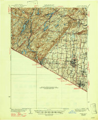
1943 Haverstraw
Rockland County, NY
1955 Haverstraw
Rockland County, NY
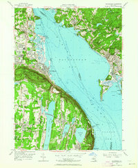
1967 Haverstraw
Rockland County, NY
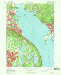
1979 Haverstraw
Rockland County, NY
2010 Haverstraw
Rockland County, NY
2013 Haverstraw
Rockland County, NY
2016 Haverstraw
Rockland County, NY
2019 Haverstraw
Rockland County, NY

2023 Haverstraw
Rockland County, NY