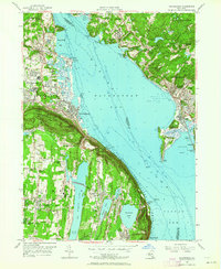
1955 Map of Haverstraw
USGS Topo · Published 1964About this map
The Hudson River widens into the expansive Haverstraw Bay on this mid-century survey, dividing the landscape between the steep ridges of the Palisades and the growing rail towns of Westchester County. On the western shore, industrial and institutional footprints are prominent, ranging from the Quarry near Long Clove to the expansive State Rehabilitation Hospital in West Haverstraw. Residential centers like New City and Haverstraw show a network of local roads such as Strawtown Road and Phillips Hill Road connecting established neighborhoods to schools and social hubs like the Dellwood Country Club.
Find a feature on this map
92 named features on this map. Tap any name to fly to it.
Don’t see what you’re looking for? This feature index may not catch every label — zoom into the map to look around manually.
Map Details
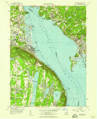
Editions of this 1955 Haverstraw Map
2 editions found
Other maps of this area

1891 · Ramapo
USGS Topo · 1:62,500

1892 · West Point
USGS Topo · 1:62,500

1892 · Tarrytown
USGS Topo · 1:62,500

1893 · Tarrytown
USGS Topo · 1:62,500

1893 · Ramapo
USGS Topo · 1:62,500

1894 · West Point
USGS Topo · 1:62,500

1899 · West Point
USGS Topo · 1:62,500

1901 · West Point
USGS Topo · 1:62,500

1902 · Tarrytown
USGS Topo · 1:62,500

1902 · Schunemunk
USGS Topo · 1:62,500