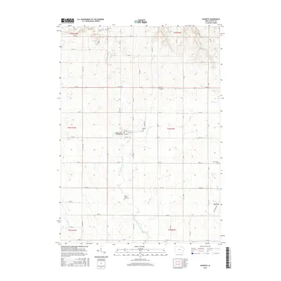
2015 Map of Hawkeye
USGS Topo · Published 2015About this map
Hawkeye serves as the central hub for this portion of Fayette County, situated at the intersection of a grid-based rural road network. The landscape is defined by the winding course of the North Branch Volga River, which drains the agricultural terrain alongside tributaries like Turner Cr and Coulee Cr. Evidence of the area's long-established community structure is found in its numerous small burial grounds, including the Oak Lawn Cem and the Fayette County Farm Cem, the latter hinting at the location of a former local social welfare institution. To the southeast, the small settlement of Donnan marks another point of habitation. The map illustrates a mature mid-western farming region where the geometry of township lines, such as t94n r9w, dictates the placement of farmsteads and county routes like Co HWY w14.
Find a feature on this map
55 named features on this map. Tap any name to fly to it.
Don’t see what you’re looking for? This feature index may not catch every label — zoom into the map to look around manually.
Map Details
Editions of this 2015 Hawkeye Map
This is the sole edition of this map. No revisions or reprints were ever made.
Other maps of this area

1901 · Oelwein
USGS Topo · 1:125,000

1906 · Decorah
USGS Topo · 1:125,000

1954 · Mason City
USGS Topo · 1:250,000

1954 · Waterloo
USGS Topo · 1:250,000

1955 · Waterloo
USGS Topo · 1:250,000

1957 · Mason City
USGS Topo · 1:250,000

1958 · Mason City
USGS Topo · 1:250,000

1958 · La Crosse
USGS Topo · 1:250,000

1959 · Dubuque
USGS Topo · 1:250,000

1961 · Dubuque
USGS Topo · 1:250,000