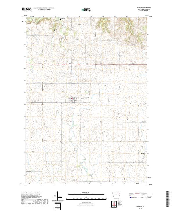
2022 Map of Hawkeye
USGS Topo · Published 2022About this map
Hawkeye serves as the central hub of this Fayette County landscape, where E Main St and W Main St meet at the town’s core. The surrounding countryside is defined by the headwaters and tributaries of the Volga River, including the meandering North Branch Volga River and the N Br Volga River. This area is particularly rich for genealogical research, documenting numerous burial grounds such as Oak Lawn Cem, Pitts Cem, Windsor Cem, and the Hawkeye Cem. Further south, the map identifies the Fayette County Farm Cem, a site often associated with local social history and the legacy of the county's poor farm system. To the southeast, the small settlement of Donnan is positioned near the junction of Co HWY w25 and 180th St, while local drainage is managed by small waterways like Turner Cr and Coulee Cr.
Find a feature on this map
56 named features on this map. Tap any name to fly to it.
Don’t see what you’re looking for? This feature index may not catch every label — zoom into the map to look around manually.
Map Details
Editions of this 2022 Hawkeye Map
This is the sole edition of this map. No revisions or reprints were ever made.
Other maps of this area

1901 · Oelwein
USGS Topo · 1:125,000

1906 · Decorah
USGS Topo · 1:125,000

1954 · Mason City
USGS Topo · 1:250,000

1954 · Waterloo
USGS Topo · 1:250,000

1955 · Waterloo
USGS Topo · 1:250,000

1957 · Mason City
USGS Topo · 1:250,000

1958 · Mason City
USGS Topo · 1:250,000

1958 · La Crosse
USGS Topo · 1:250,000

1959 · Dubuque
USGS Topo · 1:250,000

1961 · Dubuque
USGS Topo · 1:250,000