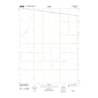
2010 Map of Hawkins
USGS Topo · Published 2010About this map
Hawkins sits along the northern edge of this Kiowa County quadrangle, situated within a vast grid of agricultural and transport lines. The landscape is defined by its rectilinear organization, with numerous throughways such as County Road K, County Road M, and County Rd 30 carving the high plains into precise sections. This geometric order is broken only by the natural depressions of Salt Lake in the northwest and Black Lake in the southeast, providing rare hydrological markers in an otherwise highly structured environment. The mapping reveals a rural economy dependent on these arterial routes for movement between remote settlements and water sources, capturing the spatial logic of eastern Colorado in the early 21st century.
Find a feature on this map
14 named features on this map. Tap any name to fly to it.
Don’t see what you’re looking for? This feature index may not catch every label — zoom into the map to look around manually.
Map Details
Editions of this 2010 Hawkins Map
This is the sole edition of this map. No revisions or reprints were ever made.
Other maps of this area

1891 · Arroyo
USGS Topo · 1:125,000

1891 · Kit Carson
USGS Topo · 1:125,000

1891 · Las Animas
USGS Topo · 1:125,000

1892 · Lamar
USGS Topo · 1:125,000

1893 · Arroyo
USGS Topo · 1:125,000

1893 · Kit Carson
USGS Topo · 1:125,000

1893 · Las Animas
USGS Topo · 1:125,000

1954 · Lamar
USGS Topo · 1:250,000

1958 · Lamar
USGS Topo · 1:250,000

1968 · Rose Ranch
USGS Topo · 1:24,000