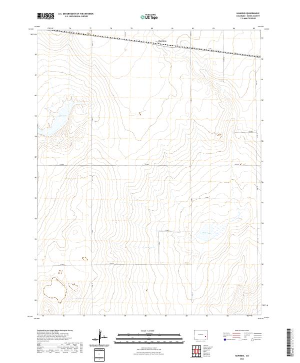
2022 Map of Hawkins
USGS Topo · Published 2022About this map
The high plains of Kiowa County are characterized by a quiet, expansive grid of section lines and isolated ephemeral water bodies. At the center of the northern boundary sits Hawkins, a small settlement along the corridor formed by Co Rd 5. This landscape is defined by the historic Public Land Survey System, with township and range lines like t18s r50w and t19s r49w carving the prairie into large agricultural tracts. A few natural depressions break the geometric pattern, most notably the basin of Salt Lake in the northwest and Black Lake toward the southeast. The network of local roads, such as Co Rd 30 and Co Rd 35, provides the primary infrastructure for the ranching and farming operations that have long shaped this part of eastern Colorado.
Find a feature on this map
19 named features on this map. Tap any name to fly to it.
Don’t see what you’re looking for? This feature index may not catch every label — zoom into the map to look around manually.
Map Details
Editions of this 2022 Hawkins Map
This is the sole edition of this map. No revisions or reprints were ever made.
Other maps of this area

1891 · Arroyo
USGS Topo · 1:125,000

1891 · Kit Carson
USGS Topo · 1:125,000

1891 · Las Animas
USGS Topo · 1:125,000

1892 · Lamar
USGS Topo · 1:125,000

1893 · Arroyo
USGS Topo · 1:125,000

1893 · Kit Carson
USGS Topo · 1:125,000

1893 · Las Animas
USGS Topo · 1:125,000

1954 · Lamar
USGS Topo · 1:250,000

1958 · Lamar
USGS Topo · 1:250,000

1968 · Rose Ranch
USGS Topo · 1:24,000