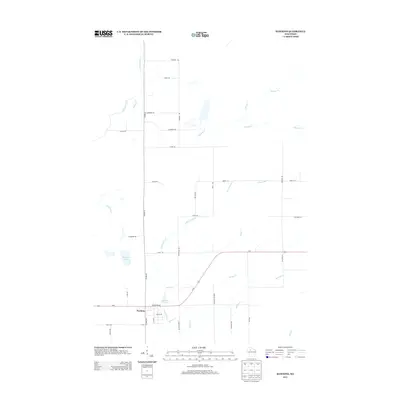
2013 Map of Hawkins
USGS Topo · Published 2013About this map
Hawkins anchors the southwestern corner of this Rusk County quadrangle, situated where the main thoroughfare of Us-8 intersects with local routes like Co Hwy-M and Factory St. The landscape is defined by an intricate network of waterways, including the Hawkins Millpond and the winding course of S Fork Main Cr. These streams and creeks, such as Stony Cr and Old Mill Cr, trace the drainage patterns of this timber-rich region of Wisconsin. North of the town center, a grid of rural roads including Cranberry Rd, Blueberry Rd, and Maple Rd indicates a history of local agriculture and wood products. The presence of Shamrock Lake and the N Fork Skinner Cr further north highlights the varied hydrography that has shaped the settlement and transportation corridors in this part of the state.
Find a feature on this map
41 named features on this map. Tap any name to fly to it.
Don’t see what you’re looking for? This feature index may not catch every label — zoom into the map to look around manually.
Map Details
Editions of this 2013 Hawkins Map
This is the sole edition of this map. No revisions or reprints were ever made.
Other maps of this area

1941 · Kennan
USGS Topo · 1:48,000

1945 · Kennan
USGS Topo · 1:48,000

1945 · Black River
USGS Topo · 1:48,000

1945 · Ingram
USGS Topo · 1:48,000

1947 · Ingram
USGS Topo · 1:48,000

1947 · Sheldon
USGS Topo · 1:48,000

1949 · Sheldon
USGS Topo · 1:48,000

1949 · Jump River Fire Tower
USGS Topo · 1:48,000

1953 · Rice Lake
USGS Topo · 1:250,000

1959 · Rice Lake
USGS Topo · 1:250,000