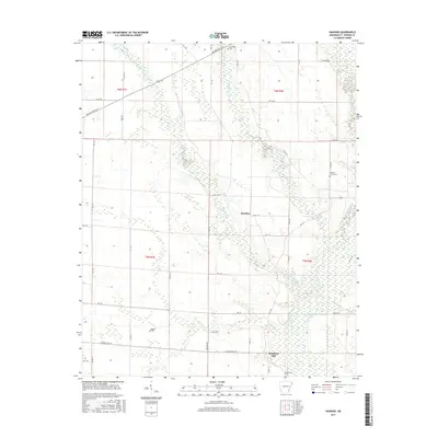
2017 Map of Hawkins
USGS Topo · Published 2017About this map
Hawkins and Slonikers Mill anchor this agricultural region in St. Francis County, where the landscape is defined by a dense network of meandering waterways. The L'Anguille River flows along the eastern edge, joined by numerous tributaries including Second Creek, First Creek, Cypress Creek, and Spybuck Creek. This intricate drainage pattern suggests a low-lying, fertile bottomland typical of the Arkansas Delta, where land use is closely tied to water management and seasonal flows.
Find a feature on this map
52 named features on this map. Tap any name to fly to it.
Don’t see what you’re looking for? This feature index may not catch every label — zoom into the map to look around manually.
Map Details
Editions of this 2017 Hawkins Map
This is the sole edition of this map. No revisions or reprints were ever made.
Other maps of this area

1939 · Wynne
USGS Topo · 1:62,500

1939 · Hunter
USGS Topo · 1:62,500

1940 · Brinkley
USGS Topo · 1:62,500

1940 · Marianna
USGS Topo · 1:62,500

1948 · Helena
USGS Topo · 1:250,000

1950 · Helena
USGS Topo · 1:250,000

1953 · Memphis
USGS Topo · 1:250,000

1955 · Helena
USGS Topo · 1:250,000

1956 · Memphis
USGS Topo · 1:250,000

1956 · Hunter
USGS Topo · 1:62,500