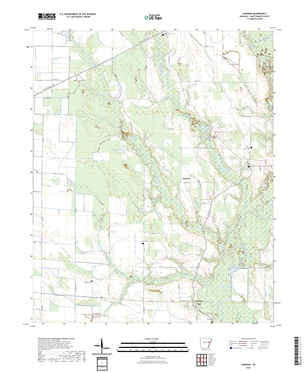
2024 Map of Hawkins
USGS Topo · Published 2024About this map
L'Anguille River and its various tributaries, including Spybuck Creek and Cypress Creek, define the drainage of this St. Francis County landscape. The network of rural roads, such as Old Military Rd W and Slonikers Mill Rd, connects scattered settlements and family-named cemeteries. These burial sites, including Jericho Cem, Gaston Cem, and Bible Union Cem, provide essential anchor points for genealogists tracing the residency patterns of eastern Arkansas families.
Find a feature on this map
54 named features on this map. Tap any name to fly to it.
Don’t see what you’re looking for? This feature index may not catch every label — zoom into the map to look around manually.
Map Details
Editions of this 2024 Hawkins Map
This is the sole edition of this map. No revisions or reprints were ever made.
Other maps of this area

1939 · Wynne
USGS Topo · 1:62,500

1939 · Hunter
USGS Topo · 1:62,500

1940 · Brinkley
USGS Topo · 1:62,500

1940 · Marianna
USGS Topo · 1:62,500

1948 · Helena
USGS Topo · 1:250,000

1950 · Helena
USGS Topo · 1:250,000

1953 · Memphis
USGS Topo · 1:250,000

1955 · Helena
USGS Topo · 1:250,000

1956 · Memphis
USGS Topo · 1:250,000

1956 · Hunter
USGS Topo · 1:62,500