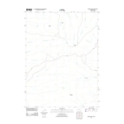
2012 Map of Hawks Nest
USGS Topo · Published 2012About this map
Buckskin Basin and the heights of Little Mountain anchor this high-elevation landscape along the Wyoming-Utah border. The 2012 survey illustrates a remote area where water is the primary geographic driver, marked by a dense concentration of named water sources such as Lousy George Spring, Angelovie Spring, and Bates Spring. These features, along with the drainage systems of Middle Fork Currant Cr and W Fork Trout Cr, suggest a history of seasonal grazing and wildlife management.
Find a feature on this map
26 named features on this map. Tap any name to fly to it.
Don’t see what you’re looking for? This feature index may not catch every label — zoom into the map to look around manually.
Map Details
Editions of this 2012 Hawks Nest Map
This is the sole edition of this map. No revisions or reprints were ever made.
Other maps of this area

1885 · Ashley
USGS Topo · 1:250,000

1952 · Clay Basin
USGS Topo · 1:24,000

1952 · Dutch John Mtn
USGS Topo · 1:24,000

1952 · Goslin Mtn
USGS Topo · 1:24,000

1954 · Vernal
USGS Topo · 1:250,000

1954 · Rock Springs
USGS Topo · 1:250,000

1957 · Currant Creek Ranch
USGS Topo · 1:62,500

1958 · Vernal
USGS Topo · 1:250,000

1958 · Rock Springs
USGS Topo · 1:250,000

1960 · Vernal
USGS Topo · 1:250,000