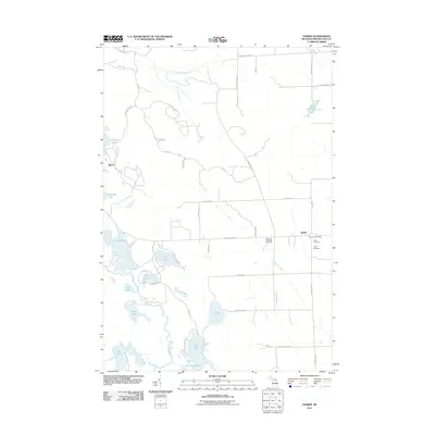
2011 Map of Hawks
USGS Topo · Published 2011About this map
The Ocqueoc River and its tributary Quinn Creek define the geography of Moltke Township, where early 21st-century surveys reveal a landscape of glacial lakes and rural road networks. The small settlement of Hawks remains a focal point for the community, anchored by the Hawks Post Office and several local burial grounds including Faith Cemetery and Hope Cemetery. To the west, Big Cut marks a distinct topographic feature near Richard Lake, while the southwestern corner is dominated by a chain of large water bodies such as Lake Nettie, Lake Ann, and Lake Emma. These lakes are connected by local routes like Lake Nettie Rd and Lake Emma Rd, which provide access to seasonal residences and agricultural land. The map also documents significant genealogical landmarks like the Bismarck Township Cemetery, situated along the grid of county highways that facilitate movement across this northern Michigan terrain.
Find a feature on this map
58 named features on this map. Tap any name to fly to it.
Don’t see what you’re looking for? This feature index may not catch every label — zoom into the map to look around manually.
Map Details
Editions of this 2011 Hawks Map
This is the sole edition of this map. No revisions or reprints were ever made.
Other maps of this area

1954 · Alpena
USGS Topo · 1:250,000

1955 · Atlanta
USGS Topo · 1:62,500

1955 · Hillman
USGS Topo · 1:62,500

1955 · Cheboygan
USGS Topo · 1:250,000

1957 · Alpena
USGS Topo · 1:250,000

1957 · Onaway
USGS Topo · 1:62,500

1958 · Cheboygan
USGS Topo · 1:250,000

1958 · Alpena
USGS Topo · 1:250,000

1969 · Alpena
USGS Topo · 1:250,000

1971 · Rogers City
USGS Topo · 1:24,000