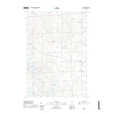
2019 Map of Hawks
USGS Topo · Published 2019About this map
Hawks and the surrounding Bismarck Township landscape are defined by a dense concentration of inland water bodies and recreational trails in this modern survey. The settlement of Hawks serves as a local hub near several community landmarks, including Faith Cem and Hope Cem. A significant corridor for non-motorized transport is established by the N Eastern State Trail, which bisects the quadrangle along a legacy rail alignment, passing through Big Cut and continuing southeast.
Find a feature on this map
65 named features on this map. Tap any name to fly to it.
Don’t see what you’re looking for? This feature index may not catch every label — zoom into the map to look around manually.
Map Details
Editions of this 2019 Hawks Map
This is the sole edition of this map. No revisions or reprints were ever made.
Other maps of this area

1954 · Alpena
USGS Topo · 1:250,000

1955 · Atlanta
USGS Topo · 1:62,500

1955 · Hillman
USGS Topo · 1:62,500

1955 · Cheboygan
USGS Topo · 1:250,000

1957 · Alpena
USGS Topo · 1:250,000

1957 · Onaway
USGS Topo · 1:62,500

1958 · Cheboygan
USGS Topo · 1:250,000

1958 · Alpena
USGS Topo · 1:250,000

1969 · Alpena
USGS Topo · 1:250,000

1971 · Rogers City
USGS Topo · 1:24,000