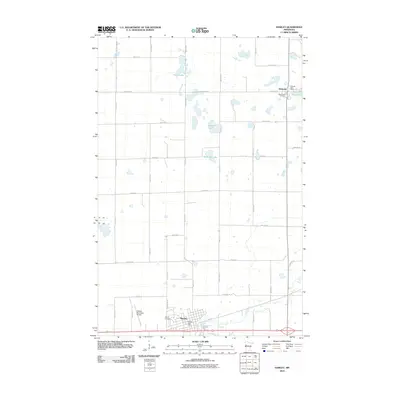
2010 Map of Hawley
USGS Topo · Published 2010About this map
The Buffalo River winds through the southern landscape of this Clay County region, framing the city of Hawley. This area reflects a well-established agricultural and transportation grid, defined by routes like County HWY-32 and 250th ST N. To the north, the town of Hitterdal serves as another focal point, situated near several significant water bodies including Tatley Lake, Solwald Lake, and Anderson Lake. Local history and genealogy interests are anchored by the West Salem Cemetery near Hitterdal and the Hawley Cemetery to the south. The infrastructure of the early 21st century is evident in the presence of the Hawley Municipal Airport and active postal facilities like the Hitterdal Post Office. The drainage patterns of Hay Creek and the surrounding wetlands illustrate the prairie-pothole character of this portion of the Red River Valley upland.
Find a feature on this map
37 named features on this map. Tap any name to fly to it.
Don’t see what you’re looking for? This feature index may not catch every label — zoom into the map to look around manually.
Map Details
Editions of this 2010 Hawley Map
This is the sole edition of this map. No revisions or reprints were ever made.
Other maps of this area

1918 · Flom
USGS Topo · 1:62,500

1918 · Ulen
USGS Topo · 1:62,500

1919 · Hawley
USGS Topo · 1:62,500

1952 · Grand Forks
USGS Topo · 1:250,000

1953 · Fargo
USGS Topo · 1:250,000

1956 · Fargo
USGS Topo · 1:250,000

1956 · Grand Forks
USGS Topo · 1:250,000

1966 · Grand Forks
USGS Topo · 1:250,000
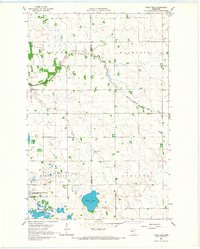
1966 · Tilde Lake
USGS Topo · 1:24,000
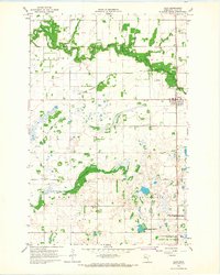
1966 · Ulen
USGS Topo · 1:24,000