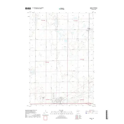
2019 Map of Hawley
USGS Topo · Published 2019About this map
Hawley sits at the southern edge of this West Central Minnesota landscape, where the Buffalo River meanders through the glacial terrain of Clay County. The settlement pattern here is anchored by the township and range system, with a dense network of country roads such as 100th Ave N and Co Rd 114 carving the prairie into distinct agricultural sections. These corridors connect the larger community of Hawley with the smaller village of Hitterdal to the north.
Find a feature on this map
39 named features on this map. Tap any name to fly to it.
Don’t see what you’re looking for? This feature index may not catch every label — zoom into the map to look around manually.
Map Details
Editions of this 2019 Hawley Map
This is the sole edition of this map. No revisions or reprints were ever made.
Other maps of this area

1918 · Flom
USGS Topo · 1:62,500

1918 · Ulen
USGS Topo · 1:62,500

1919 · Hawley
USGS Topo · 1:62,500

1952 · Grand Forks
USGS Topo · 1:250,000

1953 · Fargo
USGS Topo · 1:250,000

1956 · Fargo
USGS Topo · 1:250,000

1956 · Grand Forks
USGS Topo · 1:250,000

1966 · Grand Forks
USGS Topo · 1:250,000
1966 · Tilde Lake
USGS Topo · 1:24,000
1966 · Ulen
USGS Topo · 1:24,000