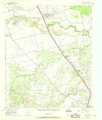
1957 Map of Hawley
USGS Topo · Published 1968About this map
The Clear Fork Brazos River snakes through this landscape in Jones and Taylor Counties, anchoring a region defined by mid-century petroleum and transportation infrastructure. North of the city limits of North Abilene, the map documents the Cosden Refinery and a network of pipelines and pumping stations that supported the local oil economy. The Fort Worth and Denver (Burlington) railroad runs parallel to the highway, connecting the town of Hawley with the larger hub to the south.
Find a feature on this map
18 named features on this map. Tap any name to fly to it.
Don’t see what you’re looking for? This feature index may not catch every label — zoom into the map to look around manually.
Map Details
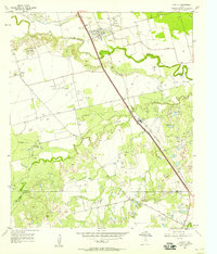
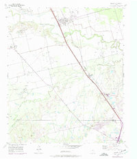
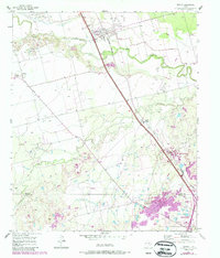
Editions of this 1957 Hawley Map
4 editions found
Other maps of this area

1890 · Abilene
USGS Topo · 1:125,000

1891 · Anson
USGS Topo · 1:125,000

1892 · Abilene
USGS Topo · 1:125,000

1893 · Anson
USGS Topo · 1:125,000

1954 · Abilene
USGS Topo · 1:250,000

1957 · Hawley
USGS Topo · 1:62,500

1957 · Kirby Lake
USGS Topo · 1:62,500

1957 · Abilene West
USGS Topo · 1:24,000

1957 · Abilene East
USGS Topo · 1:24,000

1957 · Nugent
USGS Topo · 1:62,500