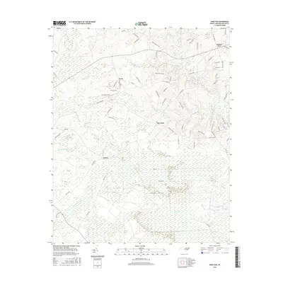
2016 Map of Haws Run
USGS Topo · Published 2016About this map
The Great Sandy Run Pocosin dominates the southern landscape of this Onslow County region, characterized by its dense wetland and low-lying terrain. Small residential clusters and family-named locales like Cyrus, Padgett, and Waltons Store anchor the area, reflecting a scattered settlement pattern common to coastal North Carolina's rural interior. The topography is defined by intricate drainage systems, where Sandy Run Swamp and Little Sandy Run Swamp feed into larger waterways such as Southwest Cr and Harris Cr.
Find a feature on this map
69 named features on this map. Tap any name to fly to it.
Don’t see what you’re looking for? This feature index may not catch every label — zoom into the map to look around manually.
Map Details
Editions of this 2016 Haws Run Map
This is the sole edition of this map. No revisions or reprints were ever made.
Other maps of this area

1943 · Jacksonville
USGS Topo · 1:62,500

1948 · Maple Hill
USGS Topo · 1:62,500

1948 · New River
USGS Topo · 1:62,500

1948 · Richlands
USGS Topo · 1:62,500

1952 · Jacksonville South
USGS Topo · 1:24,000

1952 · Sneads Ferry
USGS Topo · 1:24,000

1953 · Beaufort
USGS Topo · 1:250,000

1954 · Beaufort
USGS Topo · 1:250,000

1965 · Richlands
USGS Topo · 1:62,500

1972 · Beaufort
USGS Topo · 1:250,000