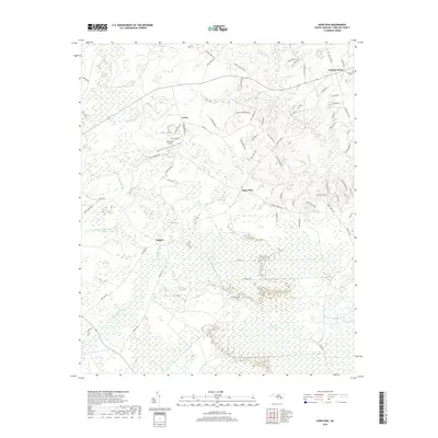
2019 Map of Haws Run
USGS Topo · Published 2019About this map
Great Sandy Run Pocosin dominates the southern landscape of this Onslow County region, illustrating the unique wetland ecology of the North Carolina coastal plain. The map traces a network of small settlements and crossroads, including Haws Run, Cyrus, and Padgett, connected by rural routes such as Haws Run Rd and Hewitts Hwy. The drainage patterns are defined by the winding reaches of Sandy Run Swamp and Little Sandy Run Swamp, which feed into the larger pocosin ecosystem.
Find a feature on this map
71 named features on this map. Tap any name to fly to it.
Don’t see what you’re looking for? This feature index may not catch every label — zoom into the map to look around manually.
Map Details
Editions of this 2019 Haws Run Map
This is the sole edition of this map. No revisions or reprints were ever made.
Other maps of this area

1943 · Jacksonville
USGS Topo · 1:62,500

1948 · Maple Hill
USGS Topo · 1:62,500

1948 · New River
USGS Topo · 1:62,500

1948 · Richlands
USGS Topo · 1:62,500

1952 · Jacksonville South
USGS Topo · 1:24,000

1952 · Sneads Ferry
USGS Topo · 1:24,000

1953 · Beaufort
USGS Topo · 1:250,000

1954 · Beaufort
USGS Topo · 1:250,000

1965 · Richlands
USGS Topo · 1:62,500

1972 · Beaufort
USGS Topo · 1:250,000