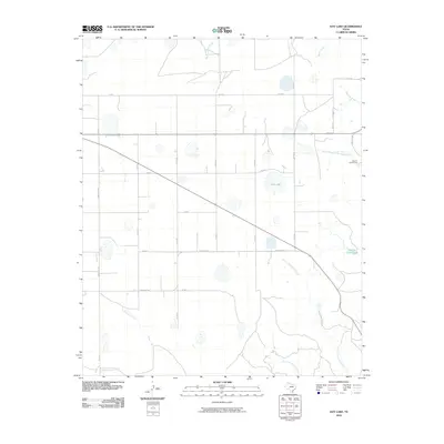
2010 Map of Hay Lake
USGS Topo · Published 2010About this map
Hay Lake and a network of ephemeral drainage basins characterize this portion of Briscoe County, reflecting the semi-arid hydrology of the Texas Panhandle. The landscape is defined by its seasonal water features, from the South Prong Little Red River in the northeast to the various branches of Little Cottonwood Creek and Big Cottonwood Creek further south.
Find a feature on this map
26 named features on this map. Tap any name to fly to it.
Don’t see what you’re looking for? This feature index may not catch every label — zoom into the map to look around manually.
Map Details
Editions of this 2010 Hay Lake Map
This is the sole edition of this map. No revisions or reprints were ever made.
Other maps of this area

1954 · Plainview
USGS Topo · 1:250,000

1958 · Plainview
USGS Topo · 1:250,000

1960 · Indian Peak
USGS Topo · 1:62,500

1965 · Ross Canyon
USGS Topo · 1:24,000

1965 · Whiteley
USGS Topo · 1:24,000

1965 · Silverton
USGS Topo · 1:24,000

1967 · Quitaque
USGS Topo · 1:24,000

1967 · Edgemon Lake
USGS Topo · 1:24,000

1967 · Hay Lake
USGS Topo · 1:24,000

1967 · Lake Theo
USGS Topo · 1:24,000