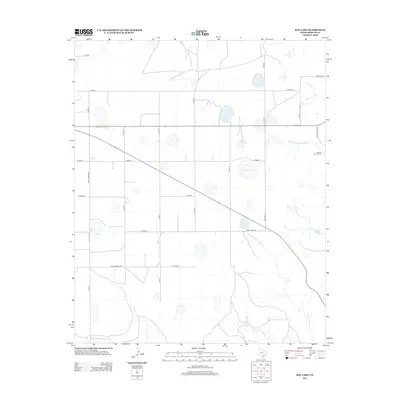
2012 Map of Hay Lake
USGS Topo · Published 2012About this map
Hay Lake sits at the center of this Briscoe County landscape, a seasonal water body within a network of ephemeral creeks and drainages typical of the Texas Panhandle. The 2012 topography reveals a stark, organized grid of county roads, such as Co Road J and Cord 20, which intersect the natural flow of waterways like Indian Cr and Mexican Cr. This intersection of human planning and natural drainage is a defining characteristic of the region's agricultural and ranching layout.
Find a feature on this map
28 named features on this map. Tap any name to fly to it.
Don’t see what you’re looking for? This feature index may not catch every label — zoom into the map to look around manually.
Map Details
Editions of this 2012 Hay Lake Map
This is the sole edition of this map. No revisions or reprints were ever made.
Other maps of this area

1954 · Plainview
USGS Topo · 1:250,000

1958 · Plainview
USGS Topo · 1:250,000

1960 · Indian Peak
USGS Topo · 1:62,500

1965 · Ross Canyon
USGS Topo · 1:24,000

1965 · Whiteley
USGS Topo · 1:24,000

1965 · Silverton
USGS Topo · 1:24,000

1967 · Quitaque
USGS Topo · 1:24,000

1967 · Edgemon Lake
USGS Topo · 1:24,000

1967 · Hay Lake
USGS Topo · 1:24,000

1967 · Lake Theo
USGS Topo · 1:24,000