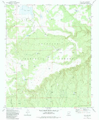
1970 Map of Hay Lake
USGS Topo · Published 1983About this map
Coconino National Forest defines this high-plateau landscape in northern Arizona, where water management is the primary marker of human presence. The northern reach of the map is dominated by Hay Lake and Daze Lake, while the remainder of the terrain is dotted with dozens of earthen livestock tanks named for local families and landmarks, such as Baucom Tank, Janice Tank, and Fisher Tank No 1. These features, along with a remote Landing Strip, speak to the region's reliance on ranching and seasonal grazing access. The topography shifts dramatically in the south, where the drainage systems of Jacks Canyon and Yellow Jacket Draw cut deep into the timbered country. This 1970 field-checked survey reveals the complex network of access roads and a Jeep Trail that navigated the forest before modern paved infrastructure reached this portion of the county.
Find a feature on this map
43 named features on this map. Tap any name to fly to it.
Don’t see what you’re looking for? This feature index may not catch every label — zoom into the map to look around manually.
Map Details
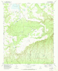
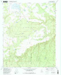
Editions of this 1970 Hay Lake Map
3 editions found
Other maps of this area

1887 · Verde
USGS Topo · 1:250,000

1892 · Verde
USGS Topo · 1:250,000

1954 · Holbrook
USGS Topo · 1:250,000

1957 · Holbrook
USGS Topo · 1:250,000

1958 · Holbrook
USGS Topo · 1:250,000

1960 · Holbrook
USGS Topo · 1:250,000
1965 · Long Valley
USGS Topo · 1:24,000
1965 · Leonard Canyon
USGS Topo · 1:24,000
1965 · Blue Ridge Reservoir
USGS Topo · 1:24,000
1970 · Turkey Mtn.
USGS Topo · 1:24,000