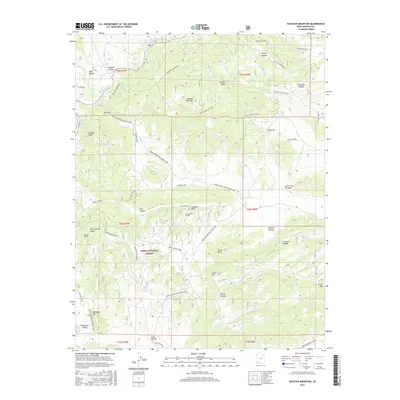
2017 Map of Haycock Mountain
USGS Topo · Published 2017About this map
Haycock Mountain anchors this high-elevation landscape within the Dixie National Forest, overlooking the eastern shores of Panguitch Lake. The terrain is defined by a series of named knolls and hollows, such as Cooper Knoll and Mexican Hollow, which reveal the complex drainage patterns feeding into Panguitch Cr and Mammoth Cr. Local history is embedded in the nomenclature of specific water sources and livestock improvements, including the Cameron Troughs and John Cameron Troughs near the center of the quadrangle.
Find a feature on this map
62 named features on this map. Tap any name to fly to it.
Don’t see what you’re looking for? This feature index may not catch every label — zoom into the map to look around manually.
Map Details
Editions of this 2017 Haycock Mountain Map
This is the sole edition of this map. No revisions or reprints were ever made.
Other maps of this area

1886 · Kanab
USGS Topo · 1:250,000

1953 · Cedar City
USGS Topo · 1:250,000

1958 · Cedar City
USGS Topo · 1:250,000

1958 · Panguitch Lake
USGS Topo · 1:62,500

1962 · Cedar City
USGS Topo · 1:250,000

1966 · Hatch
USGS Topo · 1:24,000

1966 · George Mtn
USGS Topo · 1:24,000

1971 · Fivemile Ridge
USGS Topo · 1:24,000
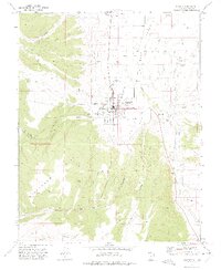
1971 · Panguitch
USGS Topo · 1:24,000
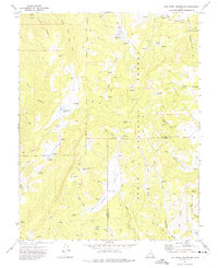
1971 · Red Creek Reservoir
USGS Topo · 1:24,000