
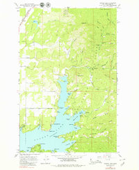
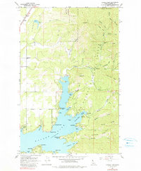
1961 Map of Hayden Lake
USGS Topo · Published 1963About this map
Hayden Lake and the surrounding timberlands of the Coeur d'Alene National Forest dominate this Kootenai County landscape. In the early 1960s, the shoreline shows a mix of recreational and residential development, from the City of Hayden Lake and Clarksville in the southwest to more remote spots like Mokins Bay Campground and Camp MiVoden. Waterfront landmarks such as The Clark House and Harris Landing sit along a complex coast defined by McLeans Bay, Skinner Bay, and O'Rourke Bay.
Find a feature on this map
60 named features on this map. Tap any name to fly to it.
Don’t see what you’re looking for? This feature index may not catch every label — zoom into the map to look around manually.
Map Details
Editions of this 1961 Hayden Lake Map
3 editions found
Other maps of this area

1903 · Rathdrum
USGS Topo · 1:125,000

1955 · Spokane
USGS Topo · 1:250,000

1957 · Coeur D'Alene
USGS Topo · 1:62,500

1957 · Lane
USGS Topo · 1:62,500

1958 · Spokane
USGS Topo · 1:250,000

1961 · Hayden
USGS Topo · 1:24,000

1961 · Bayview
USGS Topo · 1:24,000

1961 · Spirit Lake East
USGS Topo · 1:24,000

1961 · Athol
USGS Topo · 1:24,000

1961 · Spirit Lake
USGS Topo · 1:62,500