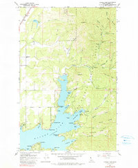
1961 Map of Hayden Lake
USGS Topo · Published 1991About this map
Hayden Lake and its deeply indented shoreline define this portion of Coeur d'Alene National Forest during the mid-twentieth century. The map details a landscape where recreational development and early settlement coexist with active extraction, as seen at the Shamrock Mine and Commonwealth Mine in the northeastern uplands. Along the western shores, the City of Hayden Lake and nearby Garwood represent growing residential pockets, while more secluded sites like The Clark House and Clarksville mark the southern waterfront.
Find a feature on this map
66 named features on this map. Tap any name to fly to it.
Don’t see what you’re looking for? This feature index may not catch every label — zoom into the map to look around manually.
Map Details
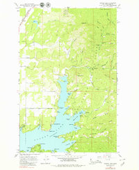
Editions of this 1961 Hayden Lake Map
3 editions found

Other maps of this area

1903 · Rathdrum
USGS Topo · 1:125,000

1955 · Spokane
USGS Topo · 1:250,000

1957 · Coeur D'Alene
USGS Topo · 1:62,500

1957 · Lane
USGS Topo · 1:62,500

1958 · Spokane
USGS Topo · 1:250,000

1961 · Hayden
USGS Topo · 1:24,000

1961 · Bayview
USGS Topo · 1:24,000

1961 · Spirit Lake East
USGS Topo · 1:24,000

1961 · Athol
USGS Topo · 1:24,000

1961 · Spirit Lake
USGS Topo · 1:62,500